Region · Gondor
Lamedon
The upland fief in the southern White Mountains, whose lord answered Aragorn's call
- Appears in
- The Lord of the Rings
- Region
- Gondor
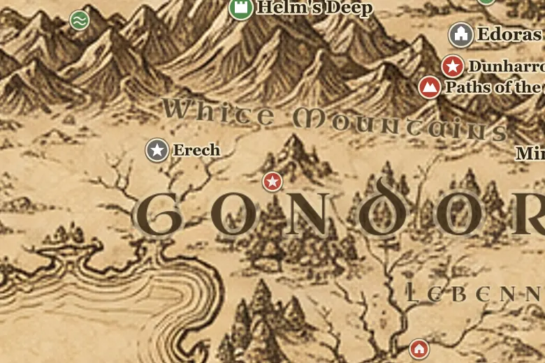
On the map Lamedon fills the hill country between the Morthond and the streams that feed the Gilrain, south of the main line of the White Mountains. The road from Erech runs east through it over Tarlang's Neck to Calembel, then down toward the coast.
It was a poor and thinly peopled fief compared with Lebennin, made of herding valleys rather than farmland, but it sat on the route between western Gondor and the lower Anduin. When the Corsairs landed in TA 3019, Angbor of Lamedon marched his men east to meet them rather than wait behind the hills.
Aragorn's company crossed the fief on 9 March, and the country emptied ahead of them as word spread that the King of the Dead was riding. Lamedon's men later formed part of the force that crewed the captured ships to the Pelennor.
Events at this place
-
TA 3019, March 9 · The Lord of the Rings
Aragorn crosses Lamedon
The Grey Company and the Dead rode through Calembel on 9 March on their way from Erech toward the coast.
-
TA 3019, March 11 · The Lord of the Rings
Angbor's stand
Angbor the Fearless of Lamedon fought the Corsairs at Linhir and then followed Aragorn to Pelargir with four thousand men.
Frequently asked questions
Where is Lamedon on the Middle-earth map?
In southern Gondor, in the valleys on the south side of the White Mountains, between the Morthond vale and Lebennin.
Who ruled Lamedon?
Angbor the Fearless was its lord during the War of the Ring, and King Elessar later made him Lord of Lebennin as well.