Hills · Eriador
Ettenmoors
Bleak troll-country north of Rivendell where the Hoarwell rises
- Appears in
- The Lord of the Rings, Appendices
- Region
- Eriador
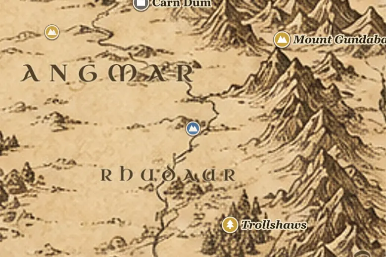
The Ettenmoors sit in the angle between the Misty Mountains and the northern edge of the Trollshaws, above Rivendell. The Hoarwell rises in them and runs south to the Last Bridge. There are no settlements: this is open, broken upland that nobody has ever held.
The name is the plain one. Ettens are trolls, and the moors are where they live, along with orcs coming down from Mount Gundabad and the northern passes. Troll-country to the north of the road explains why the three trolls of The Hobbit had wandered into the woods below, and why Rivendell keeps a watch on that side.
After Frodo reached Rivendell, Elrond sent his people out in every direction to learn where the Nazgûl had gone, and some of them searched north beyond the springs of the Hoarwell into these moors. Their line of country is the one gap between the mountains and the river system that an enemy can use to approach the valley from the north.
Events at this place
-
TA 3018, November 1 · The Lord of the Rings
Elrond's scouts search the moors
After the Council of Elrond scouts rode out from Rivendell in every direction to learn where the Nazgûl had gone, and some went north beyond the springs of the Hoarwell into the Ettenmoors.
Frequently asked questions
Where are the Ettenmoors on the Middle-earth map?
North of the Trollshaws and northwest of Rivendell, between the northern Misty Mountains and the headwaters of the Hoarwell.
What does Ettenmoors mean?
Troll-moors. The word etten is an old word for troll, and the country is named for the creatures that inhabit it.