Plain · Mirkwood
East Bight
A great notch cut out of Mirkwood's eastern side by the Northmen
- Appears in
- Appendices
- Region
- Mirkwood
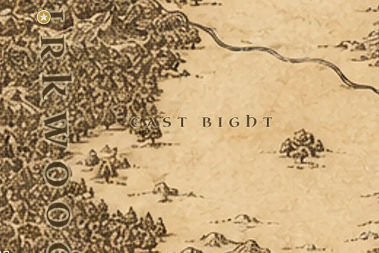
The East Bight lies on the eastern flank of Mirkwood, a deep curve of treeless country that pushes into the forest roughly level with the Mountains of Mirkwood. On the map it is unmistakable: the straight eastern edge of the wood suddenly swings west and then back out again. To its east the plains of Rhovanion run toward the River Running and the lands of Rhun.
The gap is not natural. The Northmen who lived between Mirkwood and the Celduin felled the trees over generations to make fields and pasture. Gondor counted these people as allies and kinsmen, and their princes married into the line of the Kings.
The Wainriders and then the Great Plague broke that population in the middle of the Third Age, and the survivors scattered north and west. The cleared land was left with few inhabitants, and by the time of the War of the Ring the Bight was empty ground between a darkened forest and the open east.
Events at this place
-
TA 1856 · Appendices
The Northmen are broken
The Wainriders overran Rhovanion, ending the settled realm of the Northmen whose farms had cleared the East Bight.
Frequently asked questions
What is the East Bight?
A large clearing bitten out of the eastern edge of Mirkwood, made by the Northmen of Rhovanion cutting down the forest for farmland.
Where is it on the map?
On Mirkwood's eastern side, roughly level with the Mountains of Mirkwood and north of the line of the Old Forest Road.