Ruin · Eriador
Lond Daer
Vinyalondë
A ruined Númenórean haven at the mouth of the Greyflood, west of Tharbad
- Appears in
- Appendices
- Region
- Eriador
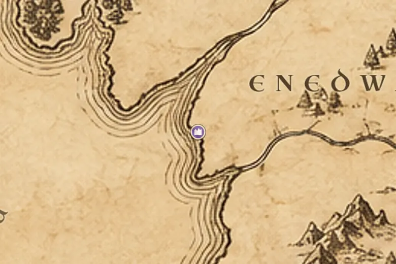
The haven lies where the Gwathló, the Greyflood, reaches the Sea, with Minhiriath to the north and Enedwaith to the south. It is the westernmost point of the long line that runs inland through Tharbad to the Gap of Rohan, and it was the natural landing place for anyone coming to these coasts by ship.
The Númenóreans built it. In the Second Age their fleets worked the shores of Middle-earth, founding harbours and forts, cutting timber and carrying it home, and this haven at the river-mouth served the whole basin of the Gwathló. It was also useful in war: the great fleet sent from Númenor to break Sauron's invasion of Eriador in SA 1700 came into these waters.
After the Second Age the coast lost its purpose. Arnor and Gondor maintained the crossing at Tharbad rather than the harbour, the people thinned out and the haven fell in. Third Age maps show it as a ruin with no road leading to it.
Events at this place
-
SA 1200 · The Silmarillion
Númenórean havens on the west coast
The Númenóreans built harbours and strongholds along the shores of Middle-earth, of which the Great Haven at the Gwathló was the chief one in the north.
-
SA 1700 · Appendices
The fleet from Númenor
Tar-Minastir's navy came east and, with the Elves of Lindon, drove Sauron out of Eriador.
Frequently asked questions
Where is Lond Daer on the Middle-earth map?
At the mouth of the river Greyflood on the west coast, south of Minhiriath and downriver from Tharbad.
What does Lond Daer mean?
Great Haven in Sindarin. Its older Númenórean name was Vinyalondë, the New Haven.